
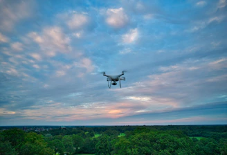
Precision Farming Experts
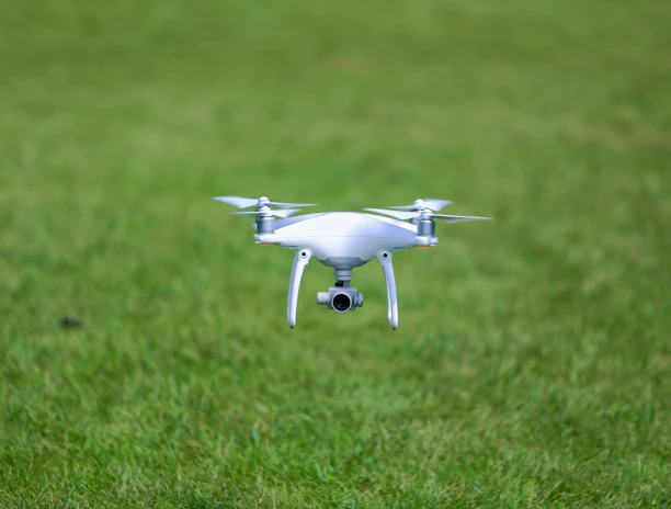
At Agriscan, we bring drone technology to your fields for smarter, data-driven decisions.


Our Mission
Helping farmers optimize yields and reduce waste through precise aerial insights.
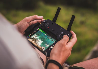
Our Services
Precision drone surveys tailored for Baltic farmers.
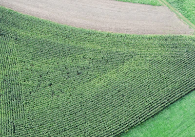
Crop Scan
Multispectral imaging reveals crop health and stress early.

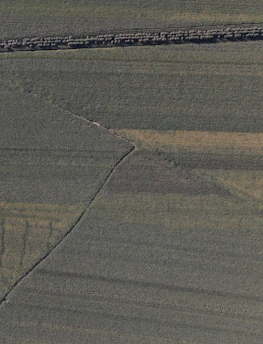
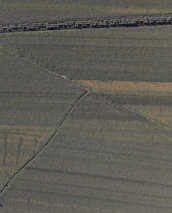
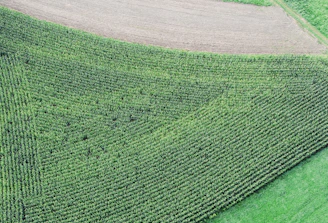
Field Maps
Detailed orthomosaic maps for precise field analysis.
3D terrain models help optimize irrigation and planting.
Terrain Model

Stay Updated
Get the latest on crop insights and tech