

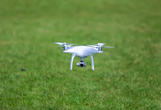
Drone Surveying
Precision aerial mapping for smarter farm management
Why Choose
Wingtra drones deliver precise, fast aerial maps for smarter farming.
Accuracy
Centimeter-level precision ensures reliable data for crop and soil analysis.

Efficiency
Cover large fields quickly with fast flights and cloud-based data processing.
Easy access to orthomosaic maps and vegetation indices speeds decision-making.
Insights


FAQs
What is drone surveying?
Drone surveying uses drones to capture detailed aerial data quickly and accurately.
How accurate are Wingtra drones?
Wingtra drones provide centimeter-level accuracy, ideal for precise agricultural mapping.
What benefits do NDVI and NDRE maps offer?
NDVI and NDRE maps help detect early crop stress, guiding timely interventions to improve yield and health.
How fast is data processing?
Data is processed quickly in the cloud via WingtraCloud for fast results.
Can I get terrain analysis?
Yes, detailed terrain and drainage models are included in the deliverables.
How does drone surveying improve fertilizer use?
Variable rate application maps optimize fertilizer distribution, reducing waste and boosting crop health.
Get in Touch
Reach out for precise drone surveying insights.